
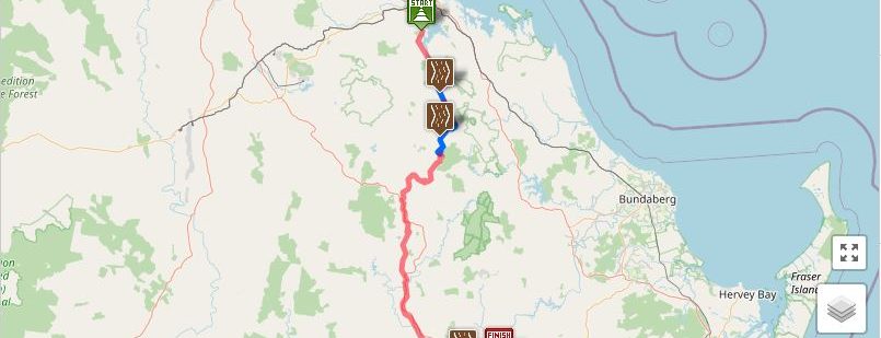
Interactive Maps, BBIRT, Taragoola to Gayndah Open Sections ( with dump points & sidings which have camping)
These maps show the entire Boyne Burnett Inland Rail Trail, which sections are open, dump points and sidings allowing camping.
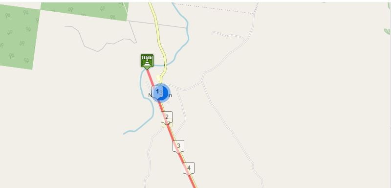
Interactive Map, Nagoorin to the Ten Mile (Ridler Ck) in the Boyne Valley
Information and a map about the short section of trail open between Nagoorin and the Ten Mile (Ridler Ck,) in the Boyne Valley.
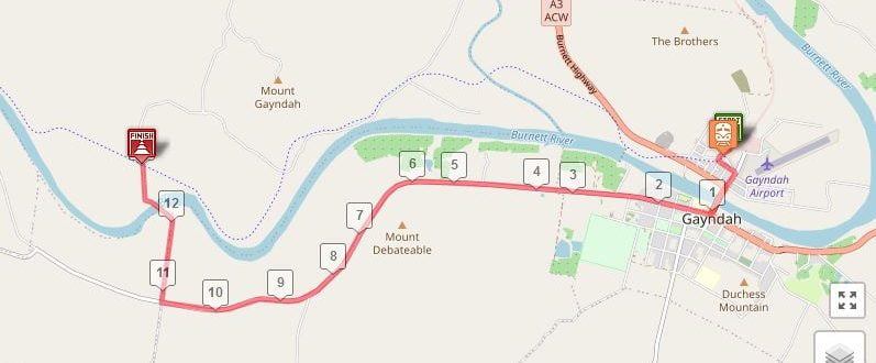
Interactive Maps, Burnett River Bridges Section, BBIRT
Maps of the Dawes Range section of the Trail, with downloadable gpx tracks and plenty of information.
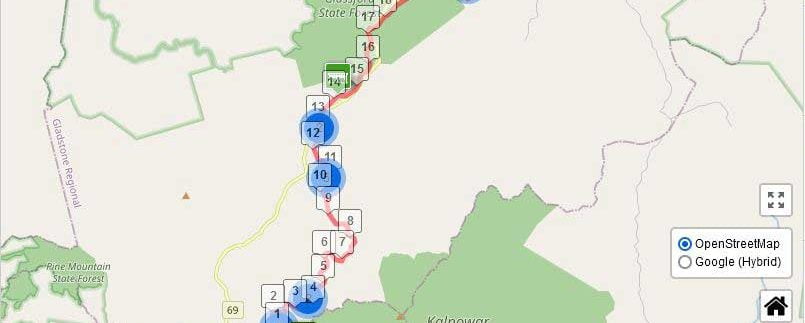
Interactive Maps, Dawes Range Section, BBIRT
Maps of the Dawes Range section of the Trail, with downloadable gpx tracks and plenty of information.
Detailed Clear Maps of the Trail from Kalpowar to Builyan
Thanks to Organised Grime for these maps